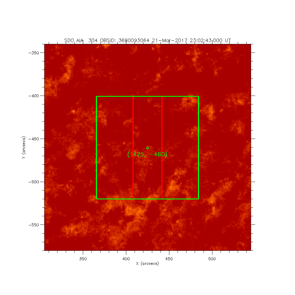
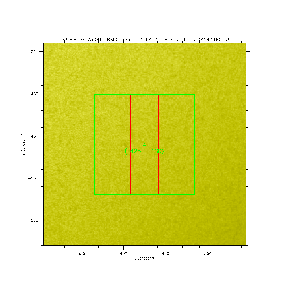
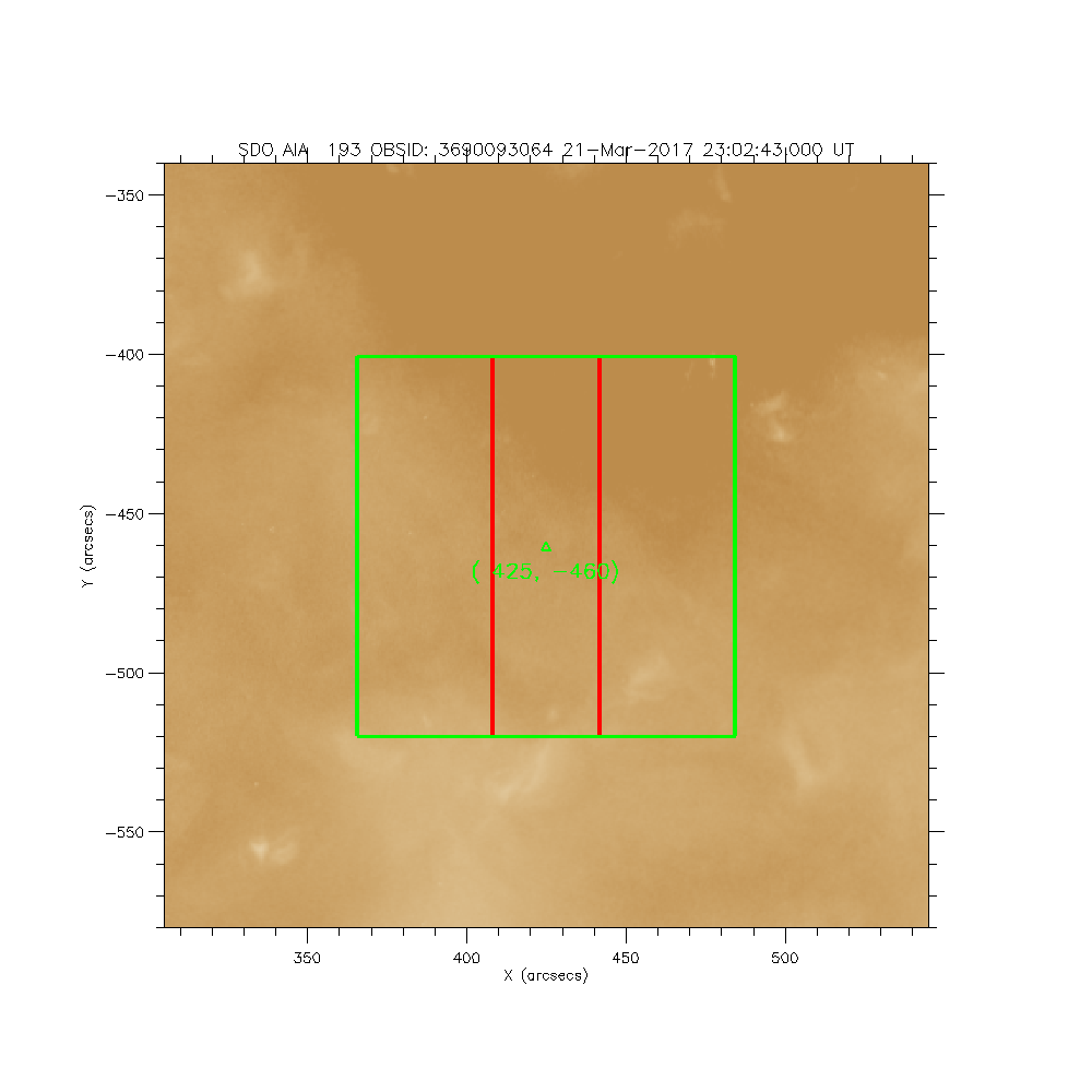
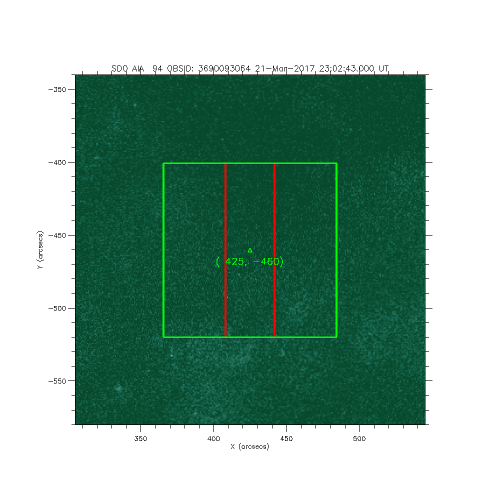
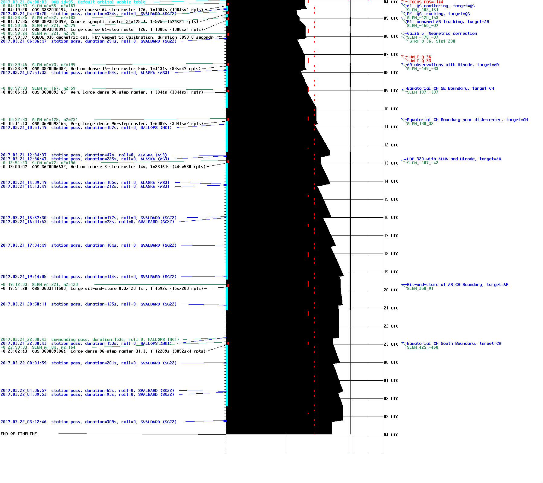
IRIS: Equatorial CH South Boundary
2017-03-21T23:02:43 to 2017-03-22T02:26:12
Program: OBS 3690093064: Large dense 96-step raster 31.35x120 96s C II Si IV Mg II w Deep x 30 Spatial x 2, Spectral x 1 Lossless compression
Target: CH
xcen=425 ycen=-460
Instrument: IRIS
Description:
Equatorial CH South Boundary
4 repeats of OBSID 3690093064 - Large dense 96-step raster 31.35x120 96s C II Si IV Mg II w Deep x 30 Spatial x 2, Spectral x 1 Lossless compression
IRIS roll: 0.0 degrees
IRIS planner pointing: (425.0 arcsec, -460.0 arcsec)
OBS duration: 12209.4 seconds = 4 repeats x 3052.4 seconds/repeat
OBS data volume: 961.5 megabytes = 7691.9 megabits = 12209.4 seconds * 0.6 megabits/second


