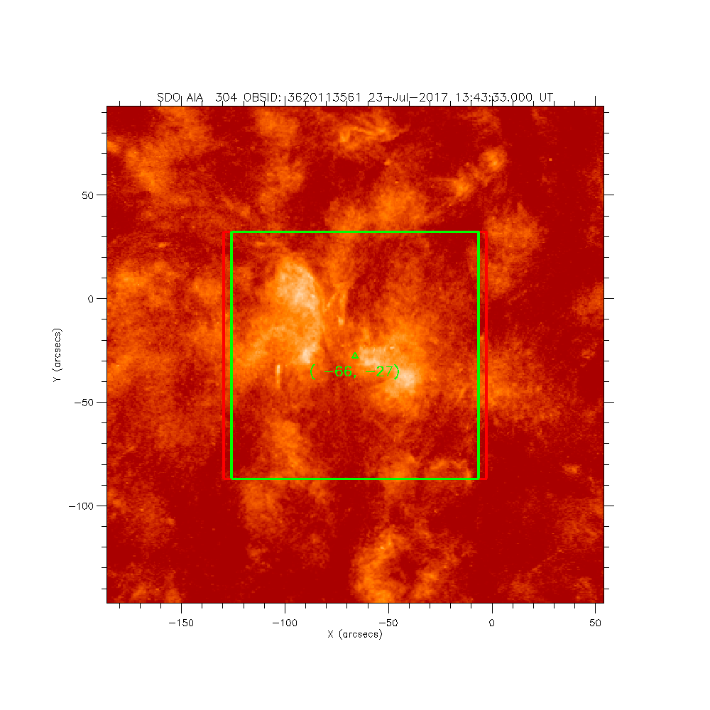
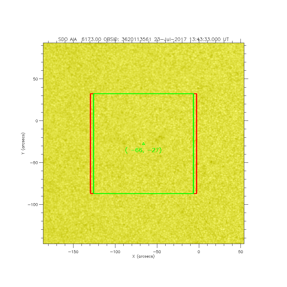
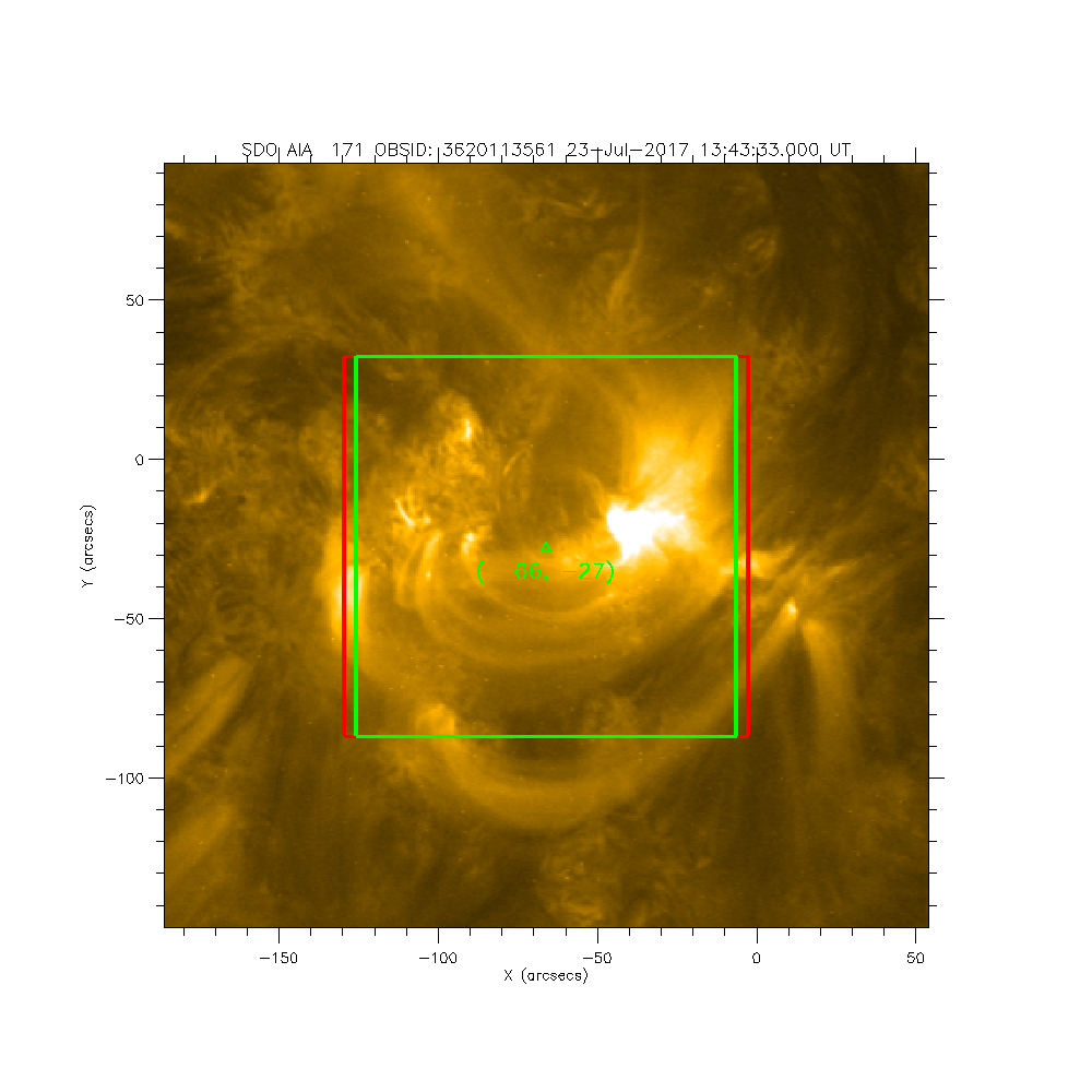
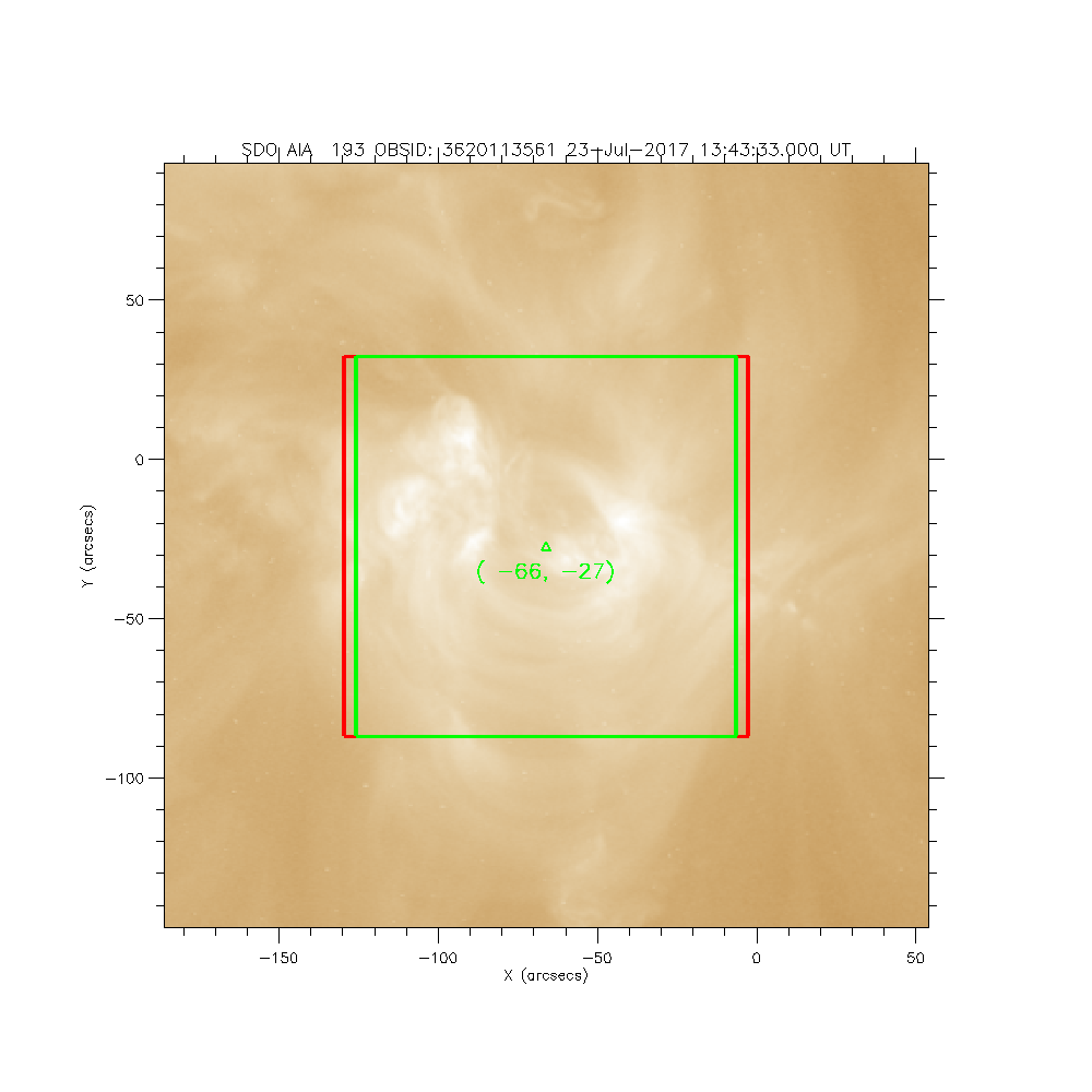
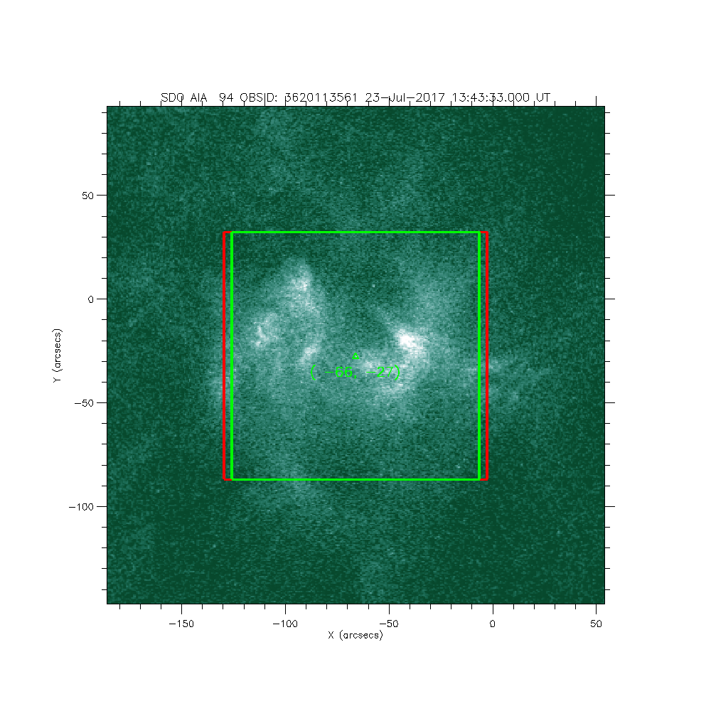
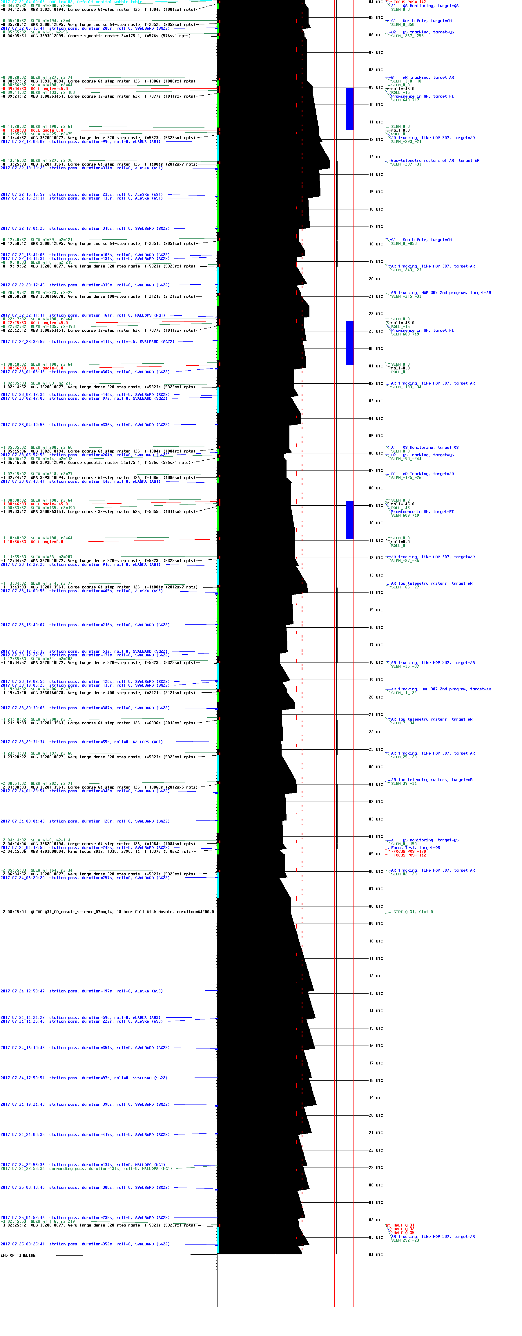
IRIS: AR low telemetry rasters
2017-07-23T13:43:33 to 2017-07-23T17:38:17
Program: OBS 3620113561: Large coarse 64-step raster 126x120 64s C II Deep x 30 Spatial x 2, Spectral x 2
Target: AR
xcen=-66 ycen=-27
Instrument: IRIS
Description:
AR low telemetry rasters
7 repeats of OBSID 3620113561 - Large coarse 64-step raster 126x120 64s C II Deep x 30 Spatial x 2, Spectral x 2
IRIS roll: 0.0 degrees
IRIS planner pointing: (-66.0 arcsec, -27.0 arcsec)
OBS duration: 14084.2 seconds = 7 repeats x 2012.0 seconds/repeat
OBS data volume: 158.4 megabytes = 1267.6 megabits = 14084.2 seconds * 0.1 megabits/second


