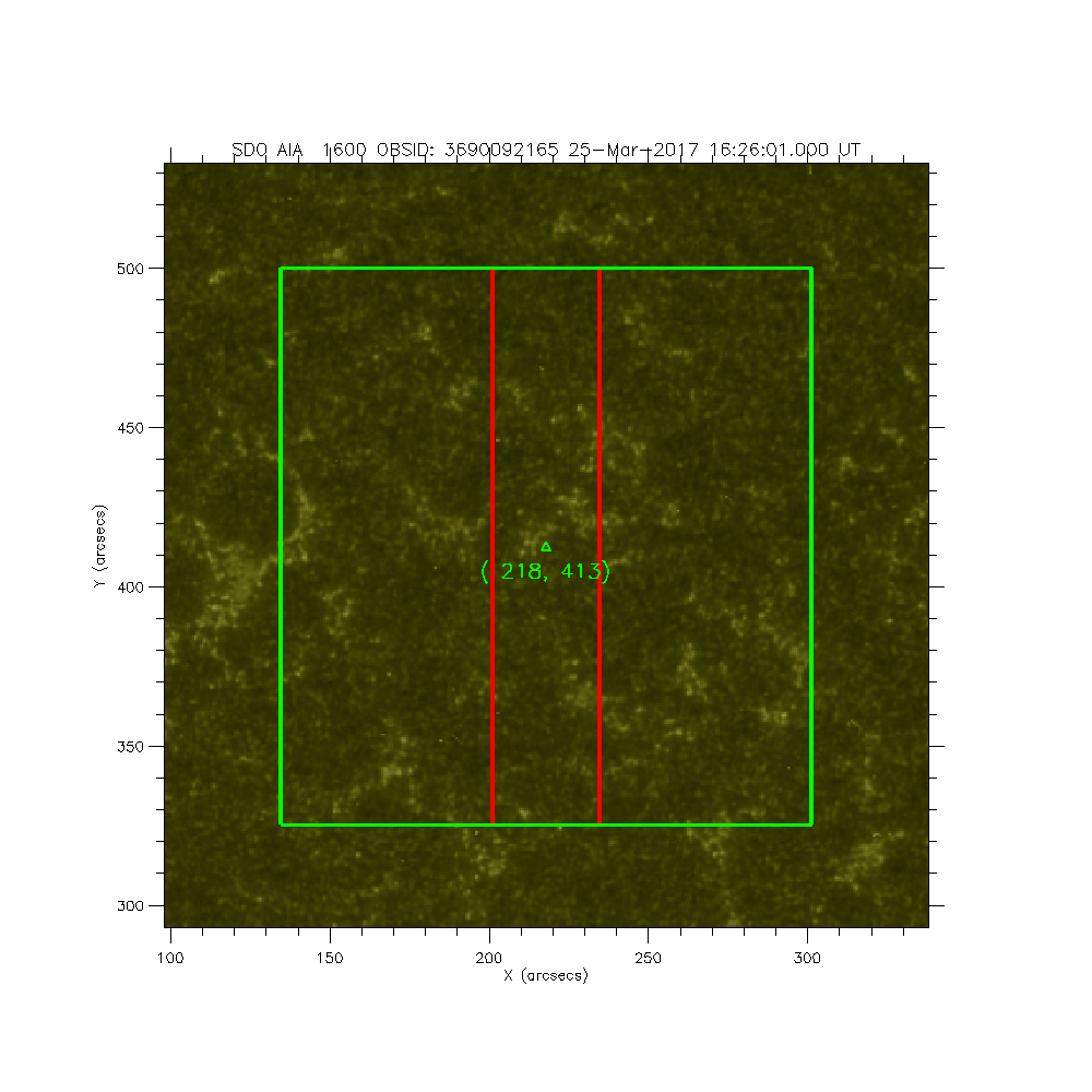
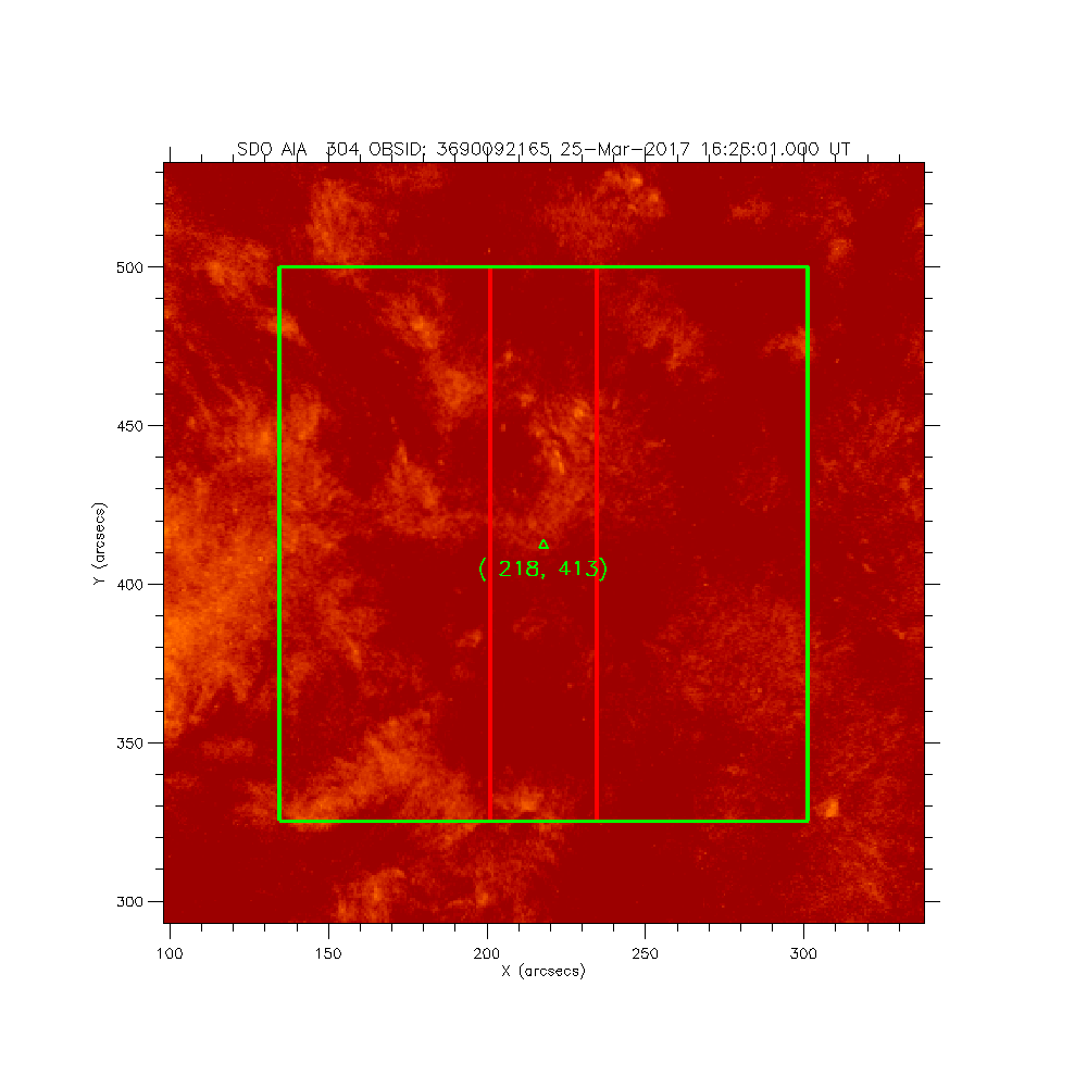
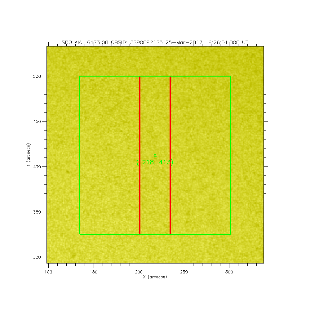
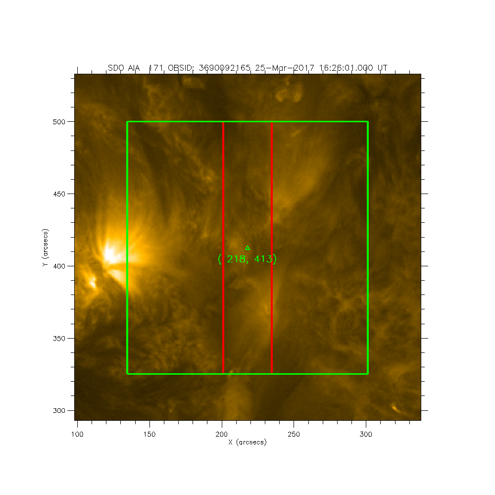
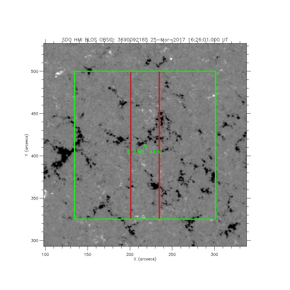
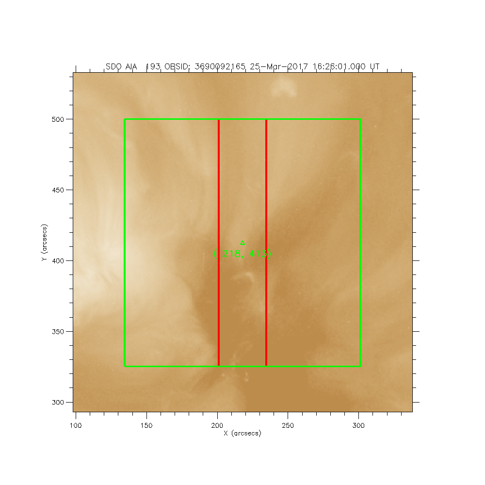
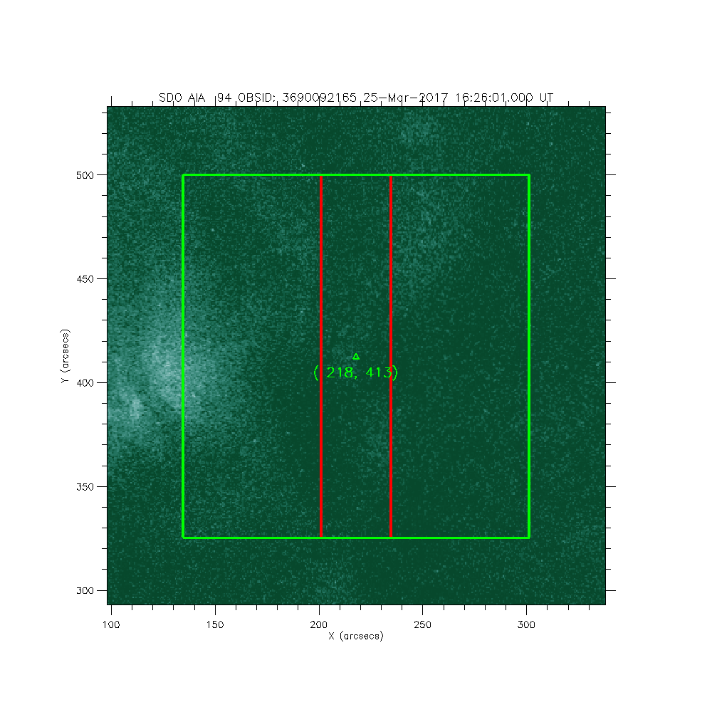
IRIS: Equatorial CH Boundary
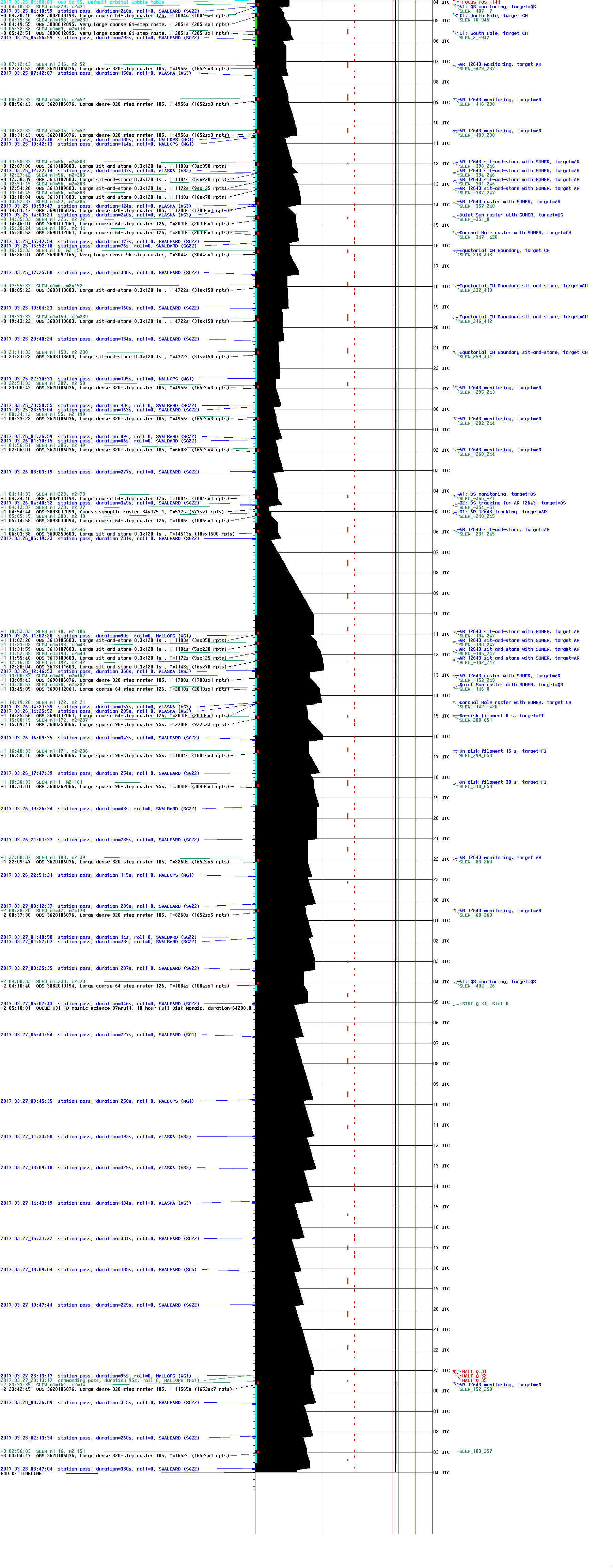
2017-03-25T16:26:01 to 2017-03-25T17:16:45
Program: OBS 3690092165: Very large dense 96-step raster 31.35x175 96s C II Si IV Mg II h/k Mg II w s Deep x 30 Spatial x 2, Spectral x 1 Lossless compression
Target: CH
xcen=218 ycen=413
Instrument: IRIS
Description:
Equatorial CH Boundary
1 repeats of OBSID 3690092165 - Very large dense 96-step raster 31.35x175 96s C II Si IV Mg II h/k Mg II w s Deep x 30 Spatial x 2, Spectral x 1 Lossless compression
IRIS roll: 0.0 degrees
IRIS planner pointing: (218.0 arcsec, 413.0 arcsec)
OBS duration: 3044.4 seconds = 1 repeats x 3044.4 seconds/repeat
OBS data volume: 365.3 megabytes = 2922.6 megabits = 3044.4 seconds * 1.0 megabits/second
