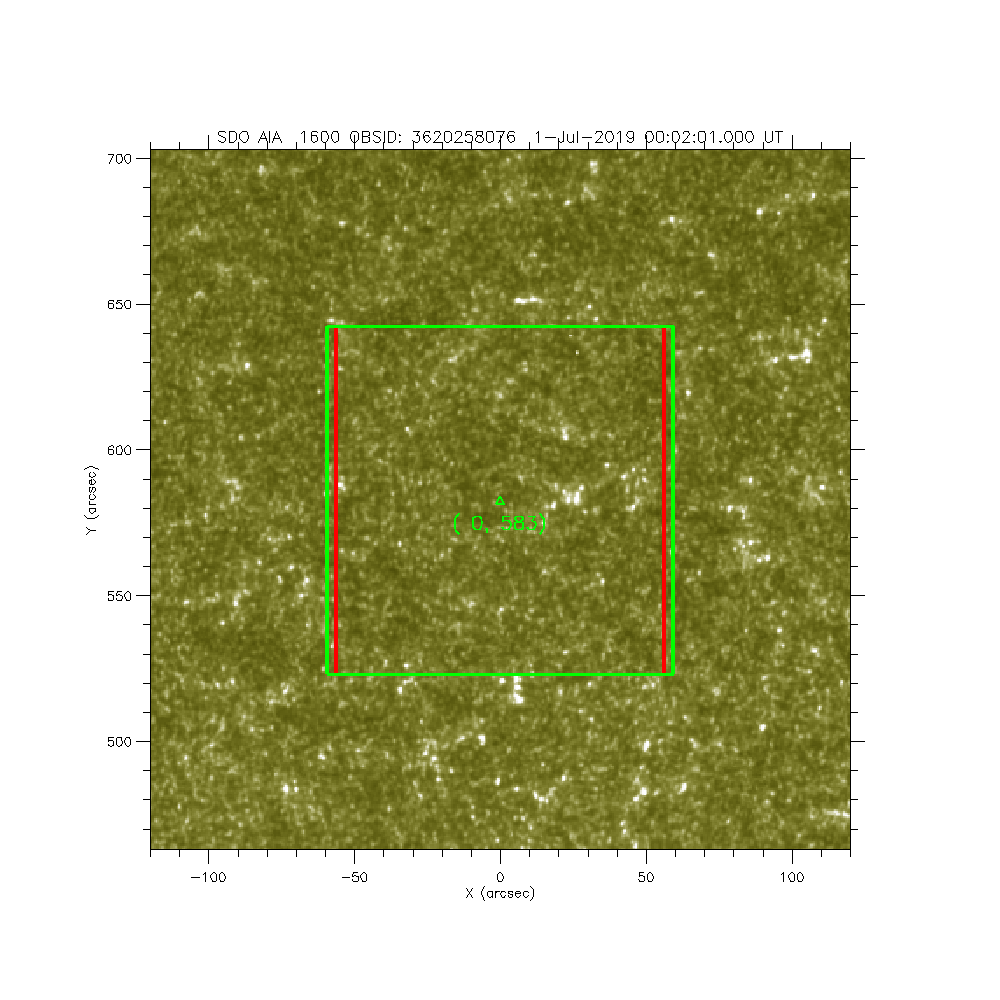
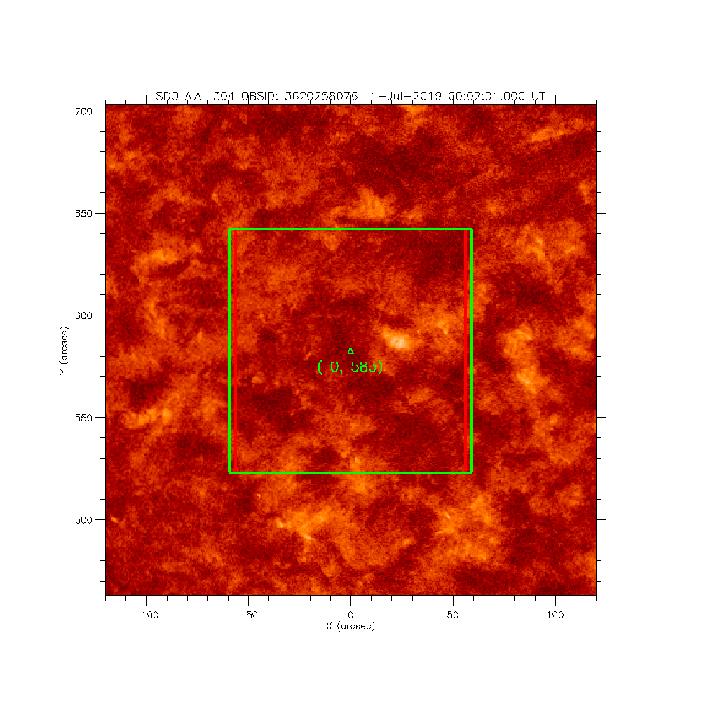
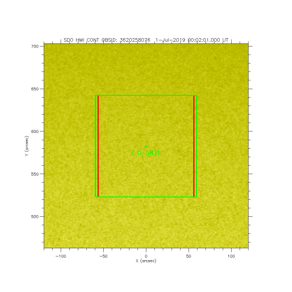
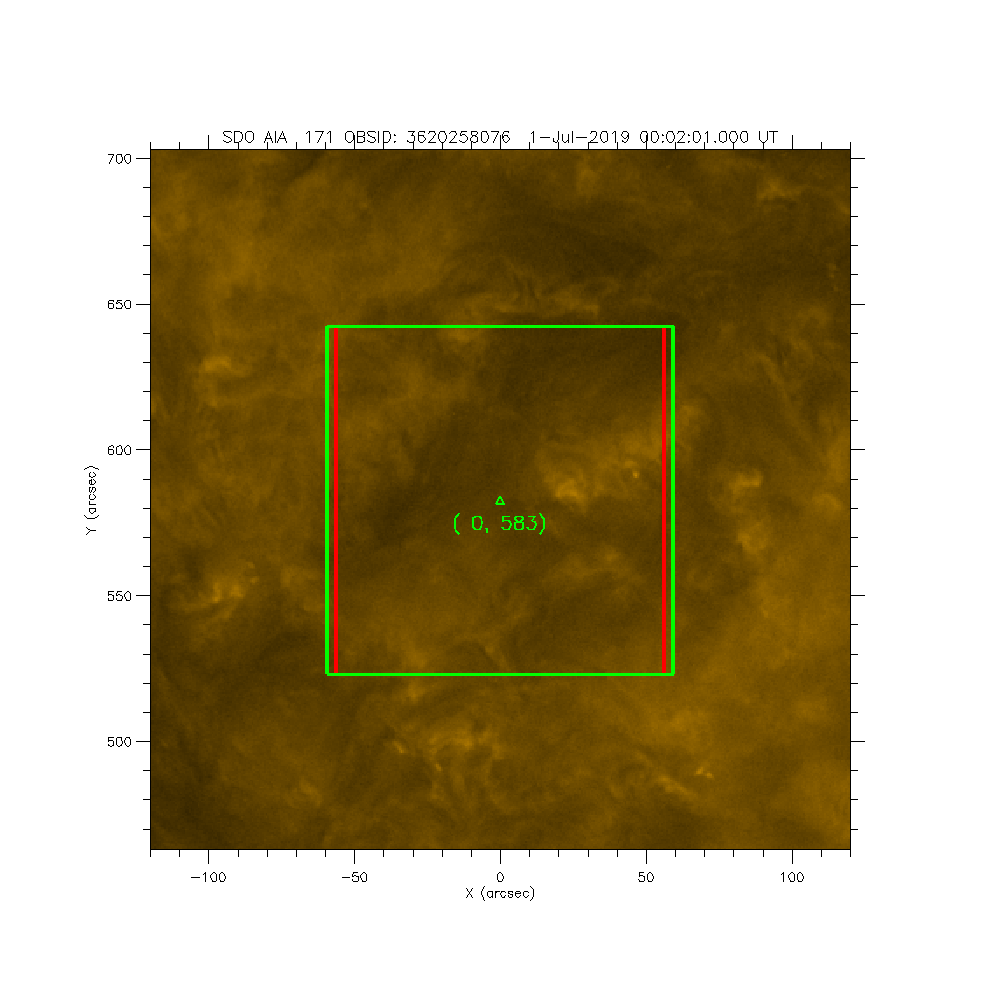
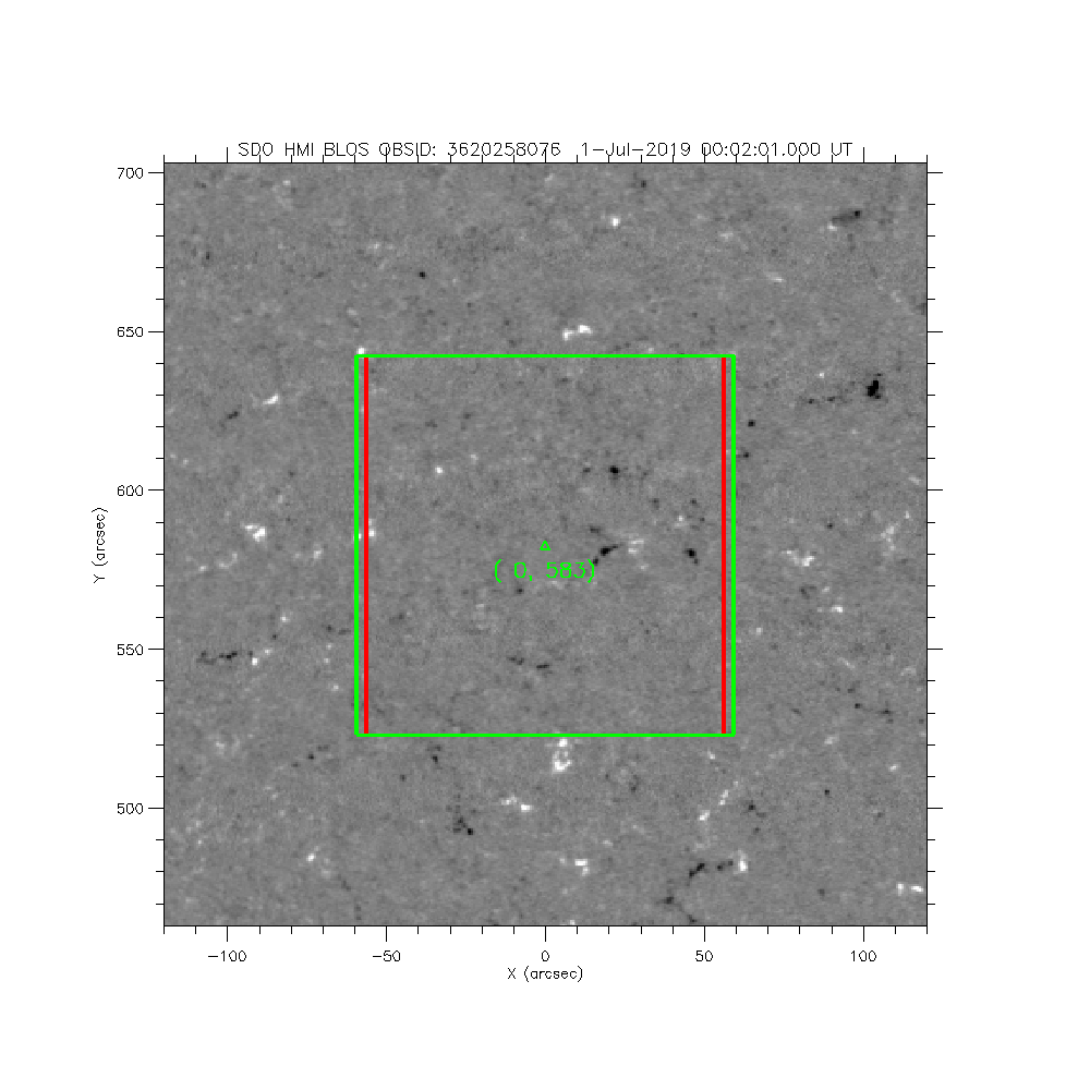
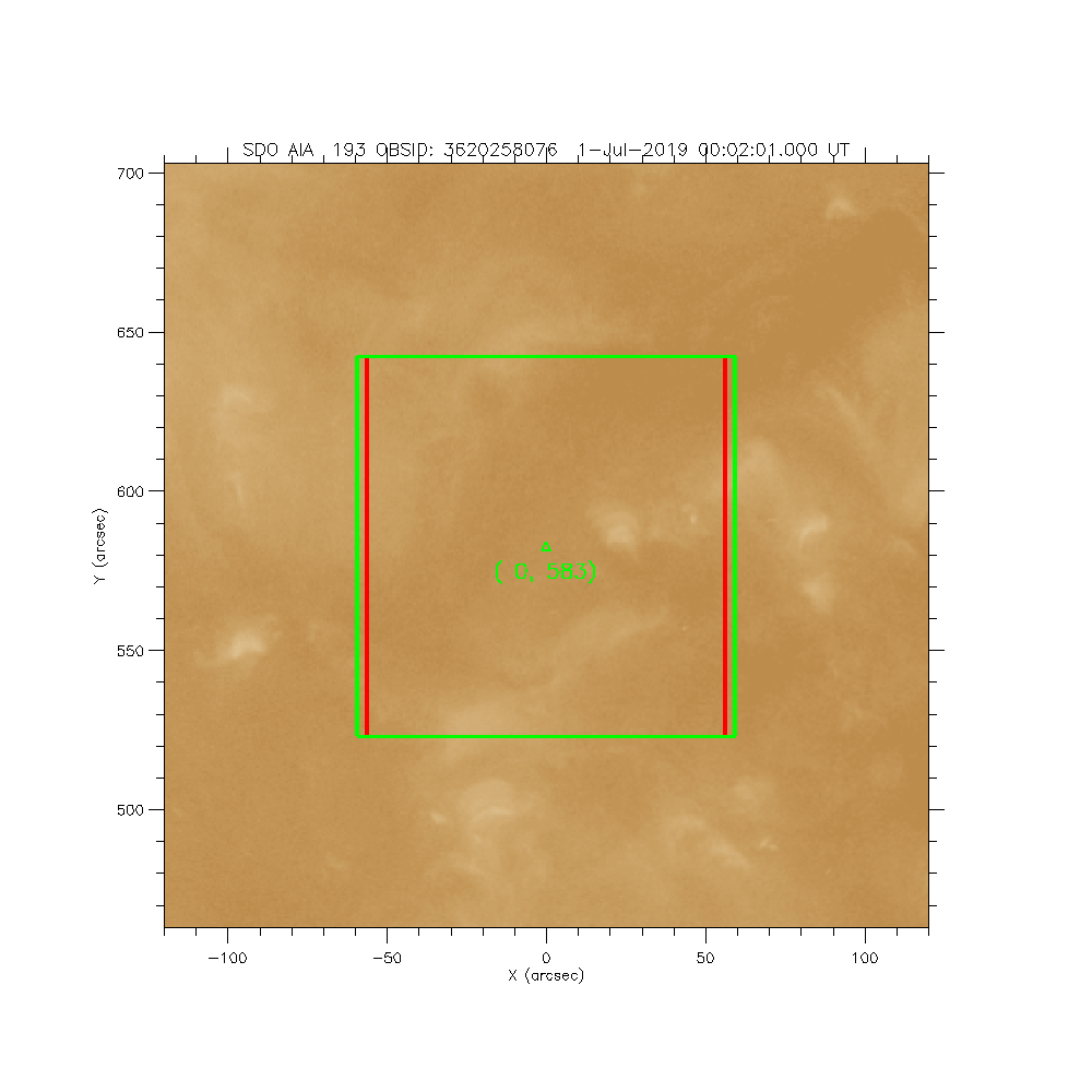
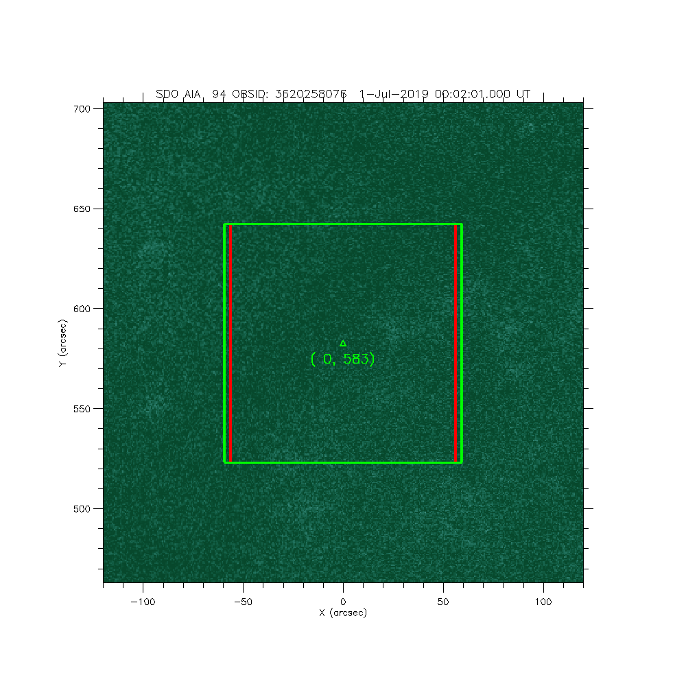
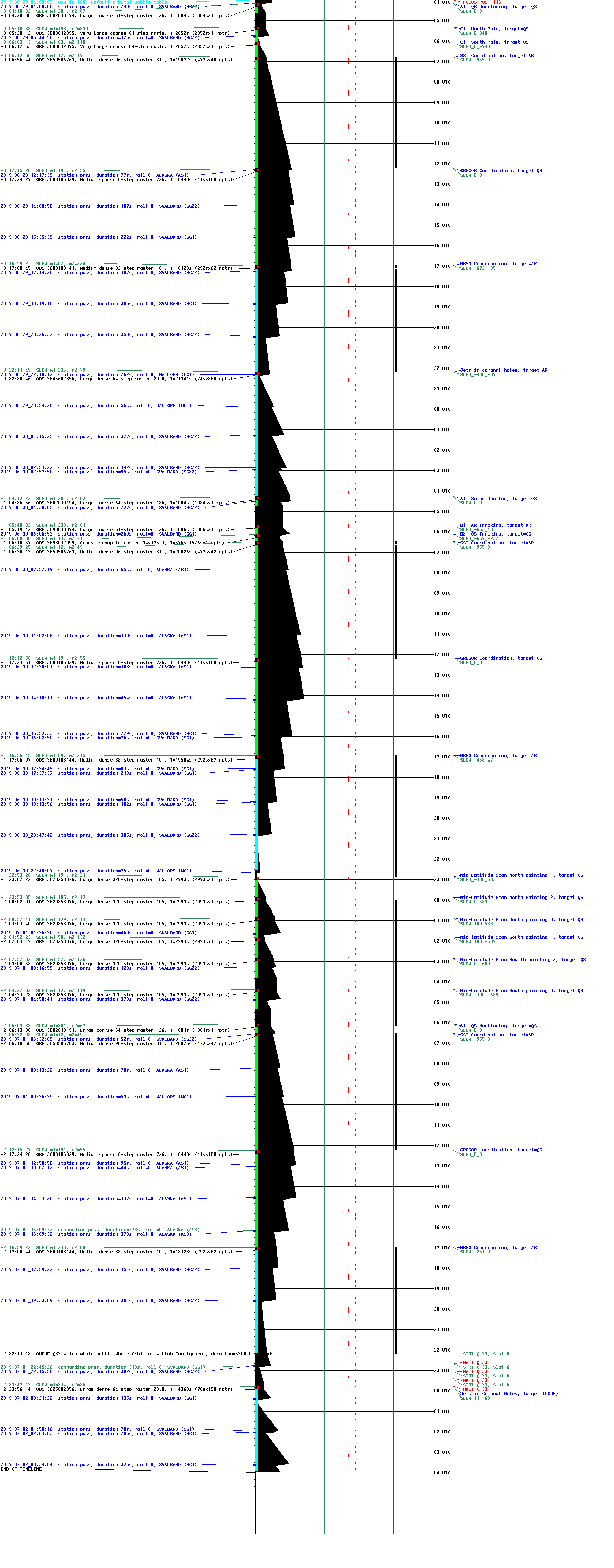
IRIS: Mid-Latitude Scan North Pointing 2
2019-07-01T00:02:01 to 2019-07-01T00:51:54
Program: OBS 3620258076: Large dense 320-step raster 105.3x120 320s Deep x 8 FUV spectrally rebinned x 2
Target: QS
xcen=0 ycen=583
Instrument: IRIS
Description:
Mid-Latitude Scan North Pointing 2
1 repeats of OBSID 3620258076 - Large dense 320-step raster 105.3x120 320s Deep x 8 FUV spectrally rebinned x 2
IRIS roll: 0.0 degrees
IRIS planner pointing: (0.0 arcsec, 583.0 arcsec)
OBS duration: 2993.2 seconds = 1 repeats x 2993.2 seconds/repeat
OBS data volume: 336.7 megabytes = 2693.9 megabits = 2993.2 seconds * 0.9 megabits/second
