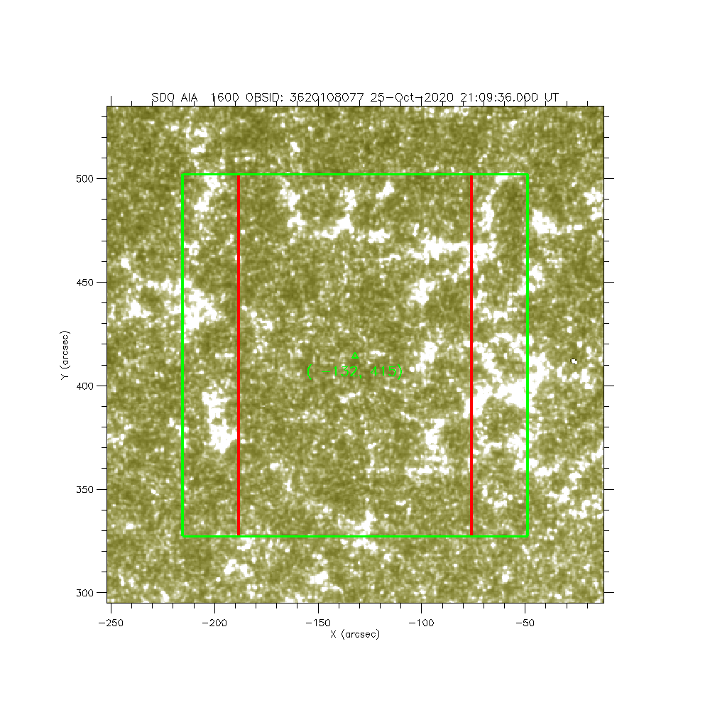
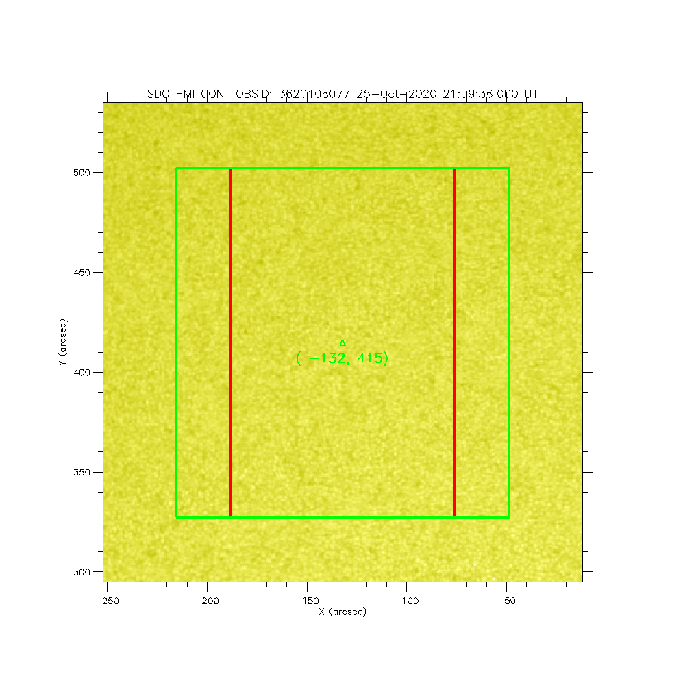
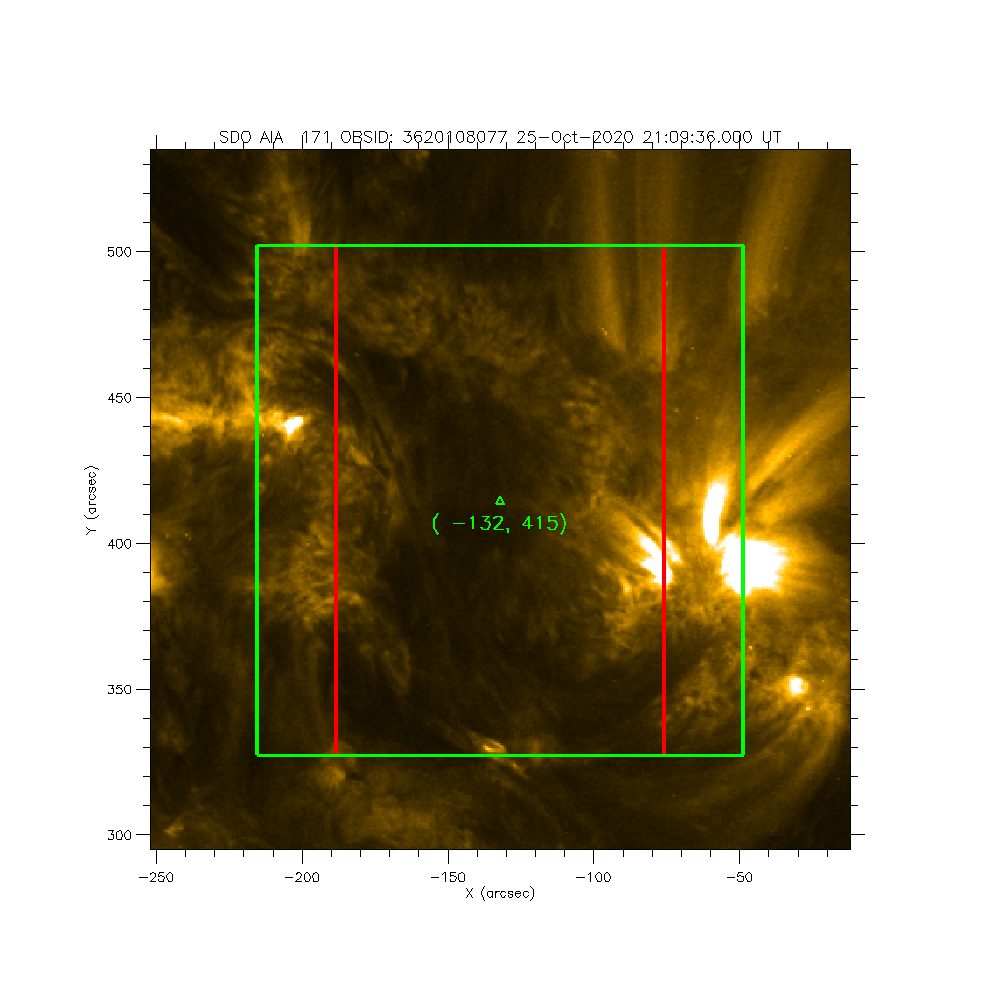
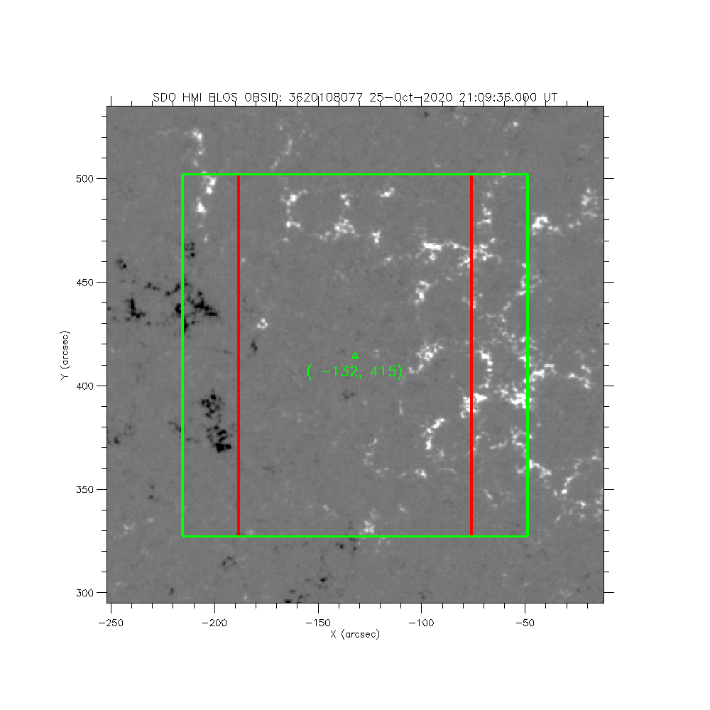
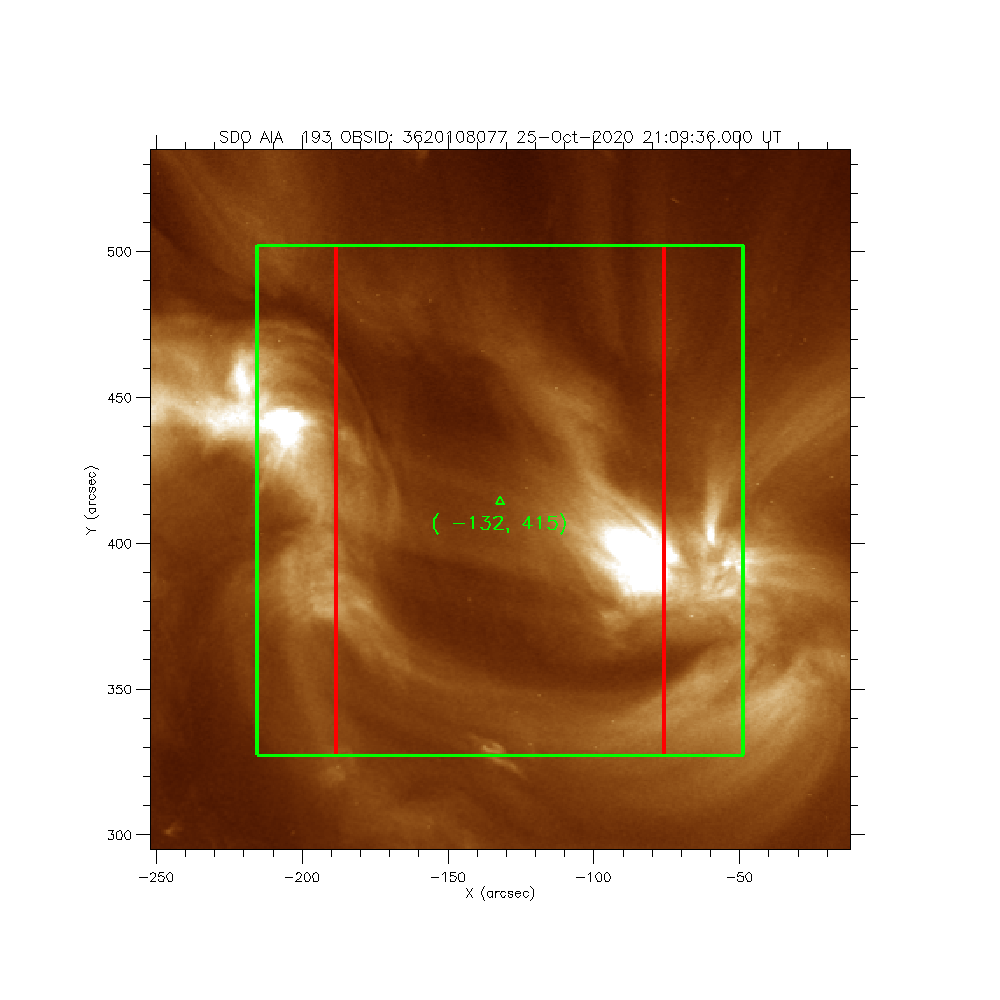
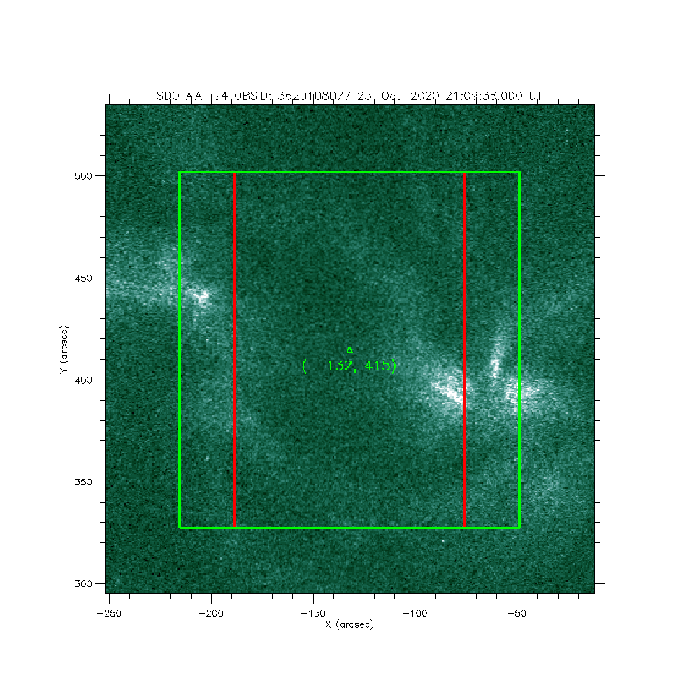
IRIS: AR/plage region at North
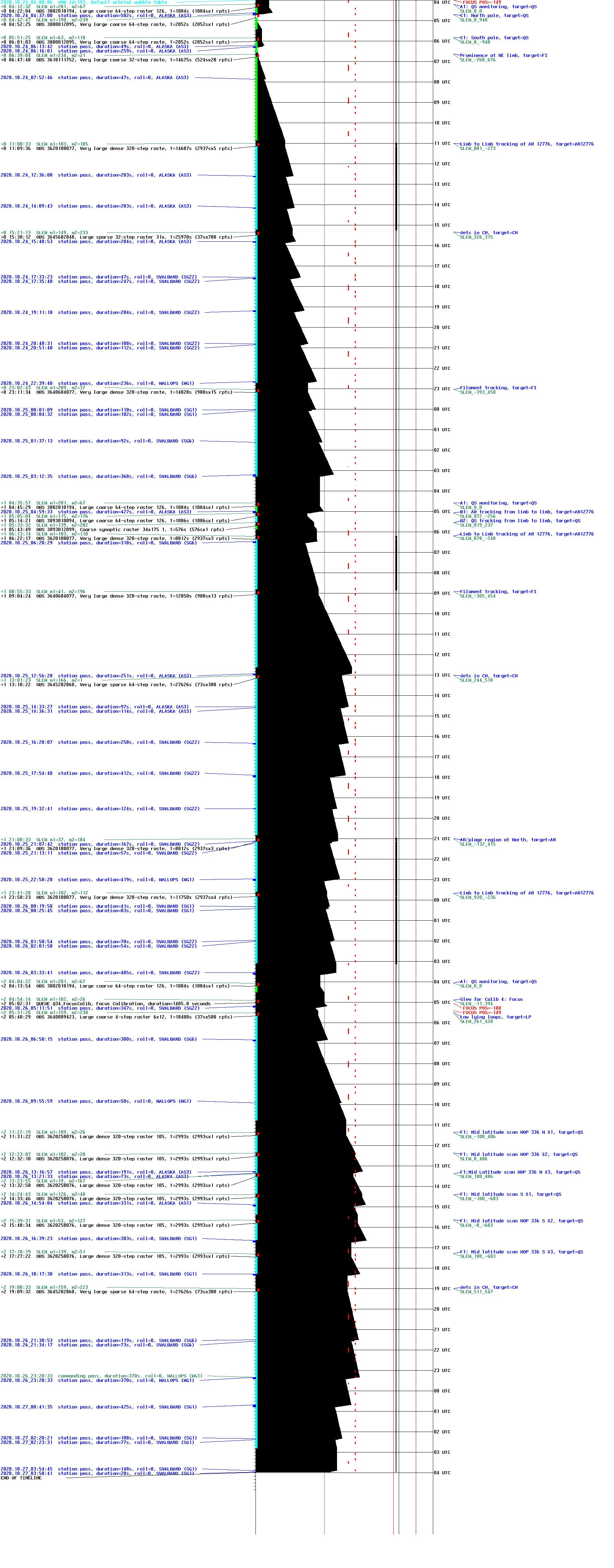
2020-10-25T21:09:36 to 2020-10-25T23:36:28
Program: OBS 3620108077: Very large dense 320-step raster 105.3x175 320s Deep x 8 Spatial x 2, Spectral x 2
Target: AR
xcen=-132 ycen=415
Instrument: IRIS
Description:
AR/plage region at North
3 repeats of OBSID 3620108077 - Very large dense 320-step raster 105.3x175 320s Deep x 8 Spatial x 2, Spectral x 2
IRIS roll: 0.0 degrees
IRIS planner pointing: (-132.0 arcsec, 415.0 arcsec)
OBS duration: 8812.2 seconds = 3 repeats x 2937.4 seconds/repeat
OBS data volume: 550.8 megabytes = 4406.1 megabits = 8812.2 seconds * 0.5 megabits/second

